UNBC releases initial findings from tailings pond breach

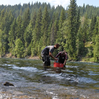
— Photo courtesy UNBC Prince George, BC – Researchers and staff at the University of Northern British Columbia have released some initial findings r
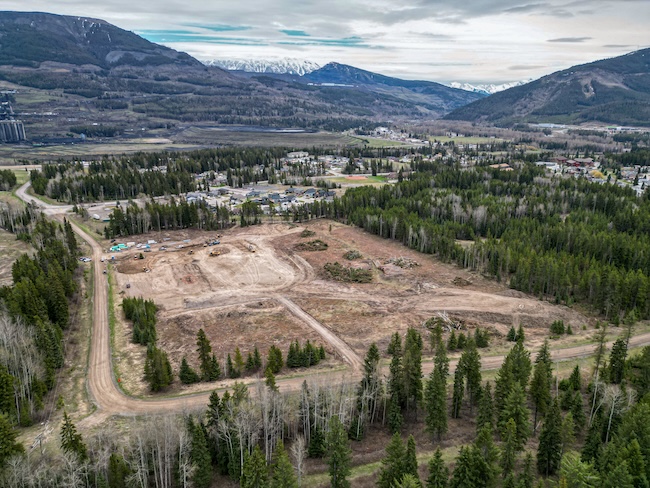
— Photo courtesy UNBC
Prince George, BC – Researchers and staff at the University of Northern British Columbia have released some initial findings regarding the tailings pond breach at the Mt. Polley Mine.
The results were presented and discussed at an Open House held on Saturday at theUNBC Dr. Max Blouw Quesnel River Research Centre (QRRC) near Likely.
When the tailings pond at the Mt. Polley Mine breached on Aug. 4, staff and students at the QRRC initiated a sampling and monitoring program the same day; the monitoring has continued since. The QRRC is located 23 kilometres from the Mt. Polley Mine (eight kilometres as the crow flies) and 10 kilometres away by boat from where Hazeltine Creek enters Quesnel Lake.
“In a matter of a few hours, the watershed was affected at an extent never before seen, and that will possibly last for decades,” says Dr. Phil Owens. “There have been few occasions in BC where so much information was required in order to determine the environmental impacts of a major industrial disaster.”
“Fortunately, the existing research activities that the QRRC has been undertaking in the Quesnel watershed over the last decade, and the expertise and capacity of staff and students at the QRRC, allowed for prompt action,” adds Dr. Ellen Petticrew.
UNBC’s research attention was directed to some key research questions associated with the short- to medium-term environmental impacts. Immediate issues of drinking water quality are being monitored by the Ministry of Environment and the Mt. Polley Mining Corporation. The QRRC has been collaborating with colleagues at UNBC, the University of British Columbia (UBC) and the Department of Fisheries and Oceans (DFO) both prior to the event and while assessing the impacts of the breach.
A number of key findings to date have been issued based on research by the QRRC and their collaborators:
· There is a plume of fine sediment that extends over an area of many tens of square kilometres that is concentrated at depth in the water column (typically below 25 m deep) of Quesnel Lake and centred around the area where Hazeltine Creek enters the lake. The plume is moving both down the lake (towards the town of Likely) and up the lake (past Cariboo Island).
· Water sample analyses show that the plume is composed of very fine particles with a median diameter of approximately 1 micron (a human hair is 40 to 50 microns wide).
· Further analysis shows that the water in the sediment plume is higher in metals concentrations compared to water samples collected above the plume, and that the metals are mainly associated with the fine sediment.
· The data suggest that the plume of fine sediment derived from the breach is moving from the lake into Quesnel River. Monitoring of water and sediment properties in the Quesnel River at the QRRC show that there are pulses of cold water moving into the river from deeper lake water. The pulses occur quickly with sharp drops in water temperature and changes in water colour over a few days, before returning to ambient conditions. These pulses are associated with increases in fine mineral sediment, and some geochemical properties (including metals). Preliminary research suggests that these pulses in water and fine sediment originate from the plume in the lake (described above) and are a result of vertical displacement of deeper, cold water from the lake.
Researchers and staff at the QRRC, along with their colleagues at UNBC (at the Prince George campus), UBC and DFO, are continuing their research activities in the Quesnel River watershed and will report further findings when appropriate.


