This mineral classification map shows areas containing high concentrations of copper (red) and feldspar (green). — Image/photo courtesy Auracle Remot
This mineral classification map shows areas containing high concentrations of copper (red) and feldspar (green). — Image/photo courtesy Auracle Remote Sensing
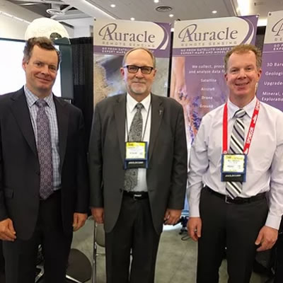
DigitalGlobe’s information partners are focused on building applications and services that harvest the rich information contained within our imagery and delivering it to their customers. We are excited to welcome Auracle Geospatial as our newest global information partner. Auracle is an experienced provider of remote sensing and geospatial services for global mineral, oil and gas exploration and natural resource management.
“I’m happy to add Auracle Geospatial Science to our Information Partner Program. The combination of their mining analytics expertise and our satellite spectral capabilities such as Shortwave Infrared (SWIR) will provide mining companies with new cost effective solutions to support their exploration and development processes,” said Drew Esson, Director of DigtalGlobe’s Information Partner Program. “Together with partners such as Auracle, DigitalGlobe is unlocking information contained in satellite imagery that enhances customer’s confidence to make critical business decisions.”
“With this new relationship with DigitalGlobe, Auracle Remote Sensing looks forward to maximizing the value of spatial data for global mining and mineral exploration companies. Our data integration and fusion methodologies are a great match to DigtalGlobe’s satellite products. Auracle has developed a specialized 3-D Bare Rock Model© that combines radar and optical satellite data. Synthetic Aperture Data (SAR), one type of satellite imagery used in the process, is not affected by weather or atmospheric conditions. It penetrates vegetation, ground cover, rocks and soils to identify buried structure and alterations. Auracle is especially excited about combining our technical expertise in structural analysis with DigitalGlobe’s super-spectral WorldView-3, the most advanced commercial, high resolution satellite imagery,” said David McLelland, Auracle Remote Sensing’s President.
Economic mineral and energy deposits are increasingly difficult to detect with most of the obvious deposits mined. Explorers are now focused on more remote areas which may be covered by forest, ice, water or agriculture. “The ability to look through land cover, rock or soils that are laying over a mineral deposit is a great advantage in geological mapping. We can expand the search for precious and base-metal mineral occurrences into deeper areas. Auracle’s upgraded mineral maps, structural analyses and predictive models help our clients to narrow prospective targets and bring down the costs of making new, deeper discoveries. For operating mines, existing knowledge about the known deposit is applied to the Model to identify near-but yet unexplored targets,” said McLelland.
To learn more about DigitalGlobe’s Information Partner Program, visit digitalglobe.com/partners/information-partners.
Author
Keith Powell
Filed Under
Related Stories
Satellite Insights into Mining’s Ecological Impact
More than 3 days ago
The Future of Mining Site Development: Reducing Downtime with Smart Surveying & Monitoring
More than 3 days ago
Saskatchewan's Potash may be Canada's Trump Card
More than 3 days ago
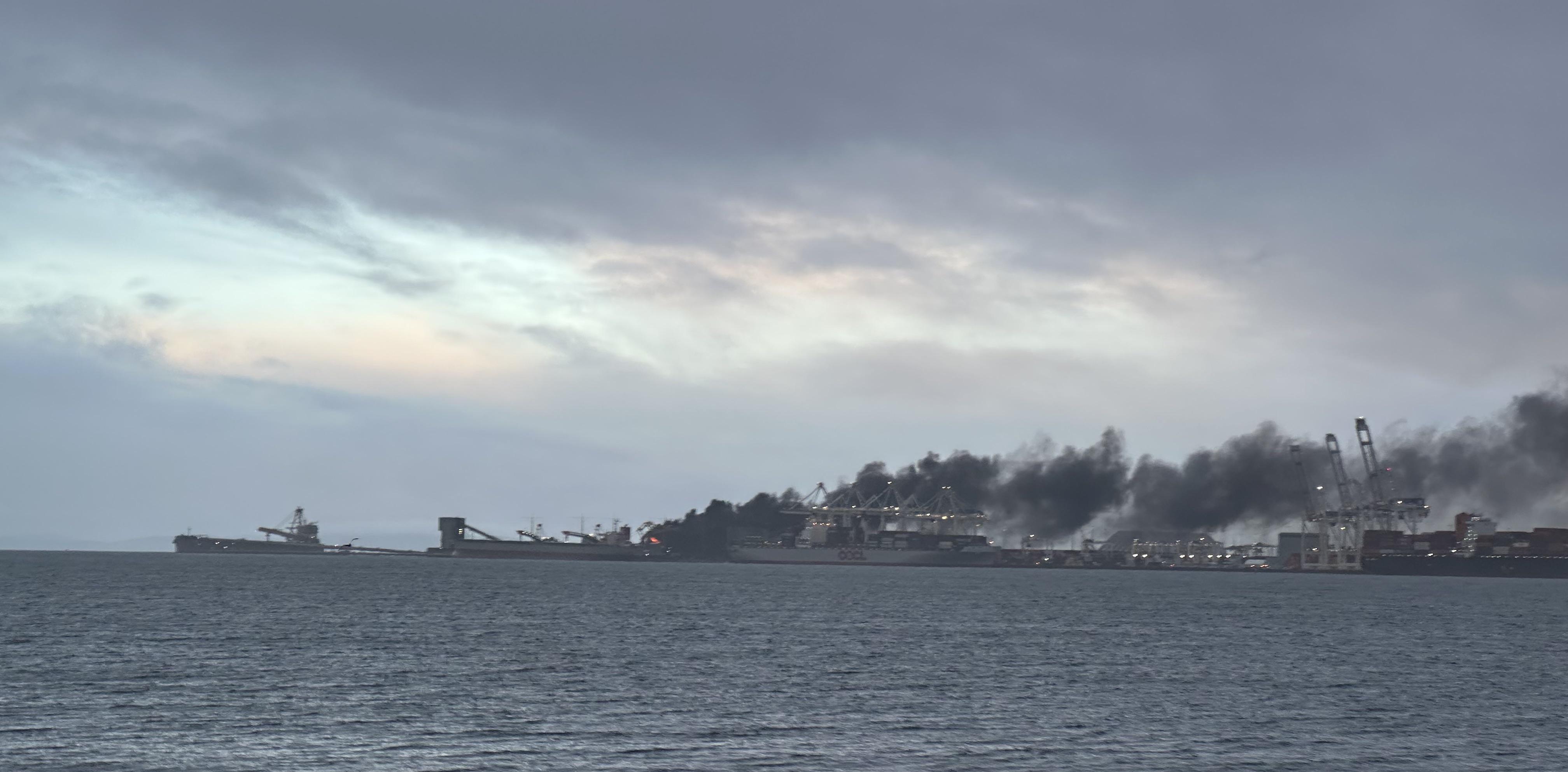
Westshore Terminals Coal Fire 2024
More than 3 days ago
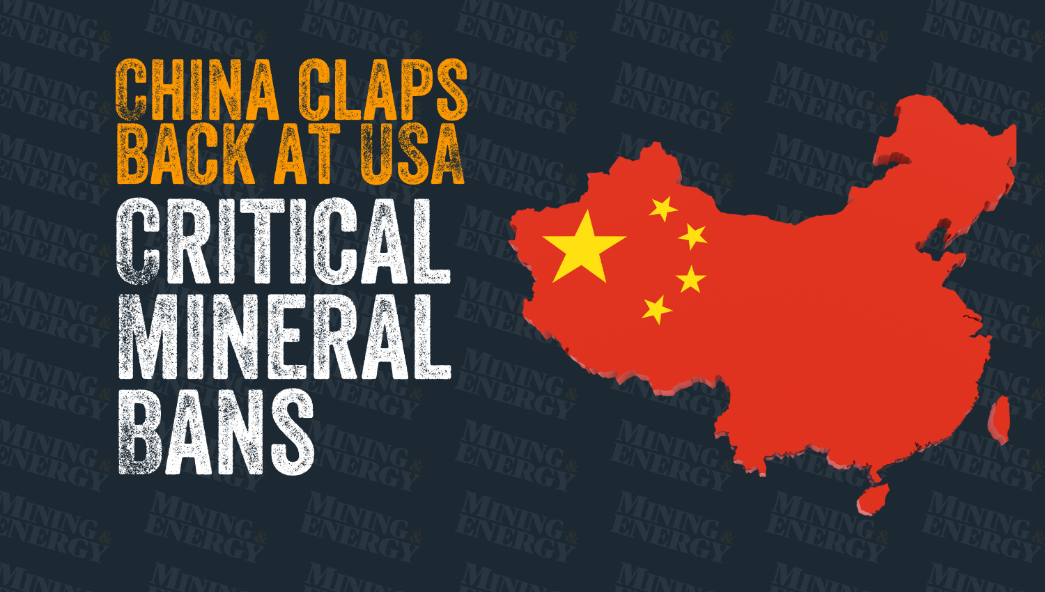
China Escalates Trade Tensions with Rare Mineral Export Ban
More than 3 days ago